Home > Arts > Artists > P > John Pine
na. Ornamental map, decorated allegorically and showing the course of the

![]()
Wall Art and Photo Gifts from Design Pics
na. Ornamental map, decorated allegorically and showing the course of the
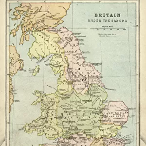
Ornamental map, decorated allegorically and showing the course of the ill-fated Spanish Armada around the British Isles and Ireland after its unsuccessful attempt to invade England in 1588. After an engraving by John Pine after a drawing by H. Gravelot, dated 1739
Design Pics offers Distinctively Different Imagery representing over 1,500 contributors
Media ID 31615305
© Ken Welsh
16th Century British Isles Cartography Chart Countries Course Drawing Geographical Geography Invasion Route Spain Spanish 1588 Attempted Gravelot John Pine Spanish Armada Unsuccessful
FEATURES IN THESE COLLECTIONS
> Arts
> Artists
> P
> John Pine
> Europe
> Republic of Ireland
> Maps
> Europe
> United Kingdom
> England
> Maps
> Maps and Charts
> Early Maps
> Maps and Charts
> Spain
EDITORS COMMENTS
This vintage print captures the historical significance of the ill-fated Spanish Armada's attempted invasion of England in 1588. The ornamental map, adorned with allegorical decorations, meticulously depicts the course and route taken by the Spanish fleet around the British Isles and Ireland. Created by John Pine after a drawing by H. Gravelot in 1739, this engraving offers a captivating glimpse into one of history's most pivotal moments. The failed invasion is vividly portrayed through intricate details that showcase both Spain's ambitious plans and their ultimate defeat at the hands of English forces. This archival piece serves as a valuable resource for those interested in studying this significant event from our past. As we explore this period illustration, it becomes evident how geography played a crucial role in shaping the outcome of conflicts during that era. The map not only highlights various countries involved but also emphasizes their geographical positioning within Europe. Ken Welsh's expert reproduction ensures that this historic artifact remains accessible to contemporary audiences seeking to delve into our shared heritage. Whether you are an avid historian or simply appreciate artistry from centuries gone by, this engraving provides an invaluable window into a defining moment in European history - forever etched on paper for us to admire and learn from.
MADE IN AUSTRALIA
Safe Shipping with 30 Day Money Back Guarantee
FREE PERSONALISATION*
We are proud to offer a range of customisation features including Personalised Captions, Color Filters and Picture Zoom Tools
SECURE PAYMENTS
We happily accept a wide range of payment options so you can pay for the things you need in the way that is most convenient for you
* Options may vary by product and licensing agreement. Zoomed Pictures can be adjusted in the Cart.