Fraud Blocker Skip to main content

Home > Fine Art Storehouse > Map > USA Maps

USA Maps Collection (#3)

A collection of highly detailed United States maps including antique engravings, reference, road and streets, illustrations and satellite maps

800 Items

We are proud to offer this selection in partnership with Fine Art Storehouse

Background imageUSA Maps Collection: Mouth of the Mississippi river, Louisiana, USA, woodcut, published 1897

Mouth of the Mississippi river, Louisiana, USA, woodcut, published 1897
Map of the mouth of the Mississippi river, Louisiana, USA. Wood engraving, published in 1897

Background imageUSA Maps Collection: Map of the Niagara Falls, Canada, USA, woodcut, published 1897

Map of the Niagara Falls, Canada, USA, woodcut, published 1897
Map of the Niagara Falls, Canada, USA. Wood engraving, published in 1897

Background imageUSA Maps Collection: Historical city map of New Orleans, Louisiana, USA, published 1897

Historical city map of New Orleans, Louisiana, USA, published 1897
Historical city map of New Orleans, Louisiana, USA. Wood engraving, published in 1897

Background imageUSA Maps Collection: Squier Map of Aquadoctan Village near Laconia in Belknap County, New Hampshire, USA

Squier Map of Aquadoctan Village near Laconia in Belknap County, New Hampshire, USA
The Aquadoctan Village near Laconia in Belknap County, New Hampshire, United States of America. Map by Ephraim George Squier (circa mid 19th century). Vintage etching circa mid 19th century

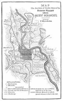
Background imageUSA Maps Collection: Squier Map of Hopewell Culture National Historical Park in Ross County, Ohio, USA

Squier Map of Hopewell Culture National Historical Park in Ross County, Ohio, USA
Map of the Scioto River Valley around Chillicothe in Ross County, New York, United States of America. Map by Ephraim George Squier

Background imageUSA Maps Collection: Squire Map of the Bone Fort near Oakfield in Genesee County, New York, USA

Squire Map of the Bone Fort near Oakfield in Genesee County, New York, USA
The Bone Fort near Oakfield in Genesee County, New York, United States of America. Map by Ephraim George Squier (circa mid 19th century). Vintage etching circa mid 19th century

Background imageUSA Maps Collection: Squier Map of Kanadaseaga Fort near Geneva in Ontario County, New York, USA

Squier Map of Kanadaseaga Fort near Geneva in Ontario County, New York, USA
Kanadaseaga Fort near Geneva in Ontario County, New York, United States of America. Map by Ephraim George Squier (circa mid 19th century). Vintage etching circa mid 19th century

Background imageUSA Maps Collection: Squier Map of Ganondagan Fort near Victor in Ontario County, New York, USA

Squier Map of Ganondagan Fort near Victor in Ontario County, New York, USA
Ganondagan State Historic Site near Victor in Ontario County, New York, United States of America. Map by Ephraim George Squier (circa mid 19th century). Vintage etching circa mid 19th century

Background imageUSA Maps Collection: Squier Map of Seneca Fort near Clarence in Erie County, New York, USA

Squier Map of Seneca Fort near Clarence in Erie County, New York, USA
Seneca Fort near Clarence in Erie County, New York, United States of America. Map by Ephraim George Squier (circa mid 19th century). Vintage etching circa mid 19th century

Background imageUSA Maps Collection: Squier Map of Cayugan Fort near Auburn in Cayuga County, New York, USA

Squier Map of Cayugan Fort near Auburn in Cayuga County, New York, USA
Cayugan Fort near Auburn in Cayuga County, New York, United States of America. Map by Ephraim George Squier (circa mid 19th century). Vintage etching circa mid 19th century

Background imageUSA Maps Collection: Squier Map of Indian Hill Fort near Minden in Montgomery County, New York, USA

Squier Map of Indian Hill Fort near Minden in Montgomery County, New York, USA
The Indian Hill Fort near Minden in Montgomery County, New York, United States of America. Map by Ephraim George Squier (circa mid 19th century). Vintage etching circa mid 19th century

Background imageUSA Maps Collection: Squier Map of Eaton Site Seneca Fort near Buffalo in Erie County, New York, USA

Squier Map of Eaton Site Seneca Fort near Buffalo in Erie County, New York, USA
Eaton Site Seneca fortified village near Buffalo in Erie County, New York, United States of America. Map by Ephraim George Squier (circa mid 19th century). Vintage etching circa mid 19th century

Background imageUSA Maps Collection: Map of Philadelphia 1898

Map of Philadelphia 1898
Antique illustration engraving of a Map of Philadelphia 1898

Background imageUSA Maps Collection: Antique map of New Hampshire USA 19th century 1819

Antique map of New Hampshire USA 19th century 1819
This is a copperplate engraving, a 19th century map of New Hampshire in the United States of America, with hand-coloured borders with Canada, Maine, Massachusetts and Vermont

Background imageUSA Maps Collection: Engraving: Map of North America

Engraving: Map of North America
Engraved illustrations of the Theory of the Art of Drawing from Iconographic Encyclopedia of Science, Literature and Art, Published in 1851. Copyright has expired on this artwork. Digitally restored

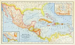
Background imageUSA Maps Collection: 1883 Map Of Central America

1883 Map Of Central America

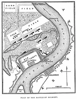
Background imageUSA Maps Collection: Battle of Belmont

Battle of Belmont
Vintage engraving from 1863 of a map of the Battle of Belmont which was fought on November 7, 1861, in Mississippi County, Missouri. It was the first combat test in the American Civil War for Brig

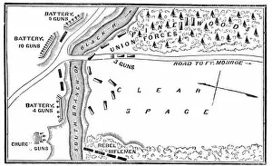
Background imageUSA Maps Collection: Battle of Big Bethel

Battle of Big Bethel
Vintage engraving from 1863 of a map of the Battle of Big Bethel also known as the Battle of Bethel Church or Great Bethel was an American Civil War battle that took place on June 10, 1861

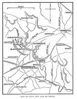
Background imageUSA Maps Collection: Battle of Bull Run

Battle of Bull Run
Vintage engraving from 1863 of a map of Bull Run and its environs at the time of the American Civil War. The First Battle of Bull Run

Background imageUSA Maps Collection: map of new york city 1874

map of new york city 1874
very old map showing new york city, new jersey, and hoboken) 1874 - composite with grunge sepia paper

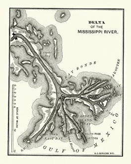
Background imageUSA Maps Collection: Map of the Delta of the Mississippi river, 19th Century

Map of the Delta of the Mississippi river, 19th Century
Vintage engraving of a Map of the Delta of the Mississippi river, 19th Century

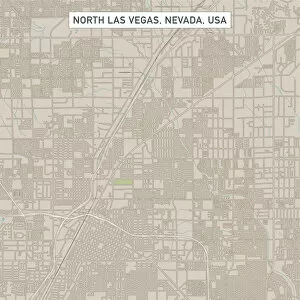
Background imageUSA Maps Collection: North Las Vegas Nevada US City Street Map

North Las Vegas Nevada US City Street Map
Vector Illustration of a City Street Map of North Las Vegas, Nevada, USA. Scale 1:60, 000. All source data is in the public domain. U.S

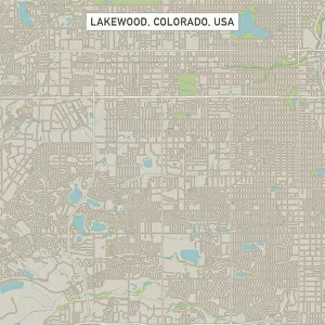
Background imageUSA Maps Collection: Lakewood Colorado US City Street Map

Lakewood Colorado US City Street Map
Vector Illustration of a City Street Map of Lakewood, Colorado, USA. Scale 1:60, 000. All source data is in the public domain. U.S

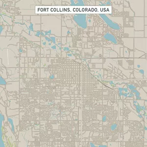
Background imageUSA Maps Collection: Fort Collins Colorado US City Street Map

Fort Collins Colorado US City Street Map
Vector Illustration of a City Street Map of Fort Collins, Colorado, USA. Scale 1:60, 000. All source data is in the public domain. U.S

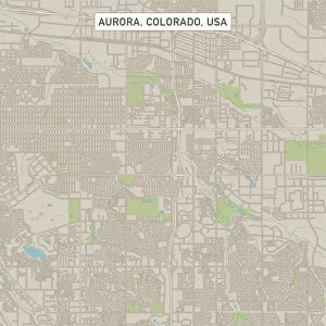
Background imageUSA Maps Collection: Aurora Colorado US City Street Map

Aurora Colorado US City Street Map
Vector Illustration of a City Street Map of Aurora, Colorado, USA. Scale 1:60, 000. All source data is in the public domain. U.S

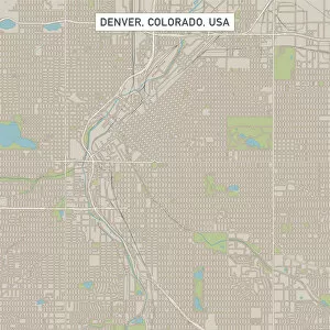
Background imageUSA Maps Collection: Denver Colorado US City Street Map

Denver Colorado US City Street Map
Vector Illustration of a City Street Map of Denver, Colorado, USA. Scale 1:60, 000. All source data is in the public domain. U.S

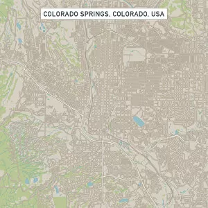
Background imageUSA Maps Collection: Colorado Springs Colorado US City Street Map

Colorado Springs Colorado US City Street Map
Vector Illustration of a City Street Map of Colorado Springs, Colorado, USA. Scale 1:60, 000. All source data is in the public domain. U.S

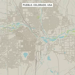
Background imageUSA Maps Collection: Pueblo Colorado US City Street Map

Pueblo Colorado US City Street Map
Vector Illustration of a City Street Map of Pueblo, Colorado, USA. Scale 1:60, 000. All source data is in the public domain. U.S

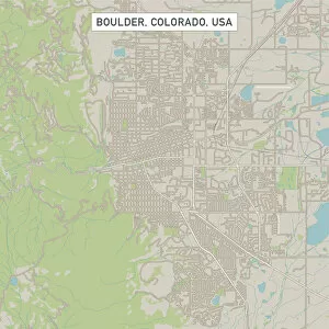
Background imageUSA Maps Collection: Boulder Colorado US City Street Map

Boulder Colorado US City Street Map
Vector Illustration of a City Street Map of Boulder, Colorado, USA. Scale 1:60, 000. All source data is in the public domain. U.S

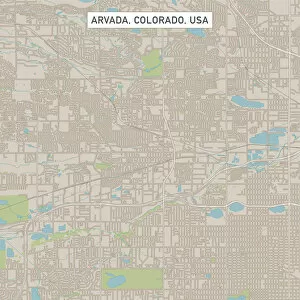
Background imageUSA Maps Collection: Arvada Colorado US City Street Map

Arvada Colorado US City Street Map
Vector Illustration of a City Street Map of Arvada, Colorado, USA. Scale 1:60, 000. All source data is in the public domain. U.S

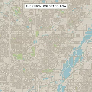
Background imageUSA Maps Collection: Thornton Colorado US City Street Map

Thornton Colorado US City Street Map
Vector Illustration of a City Street Map of Thornton, Colorado, USA. Scale 1:60, 000. All source data is in the public domain. U.S

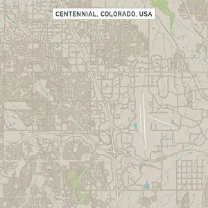
Background imageUSA Maps Collection: Centennial Colorado US City Street Map

Centennial Colorado US City Street Map
Vector Illustration of a City Street Map of Centennial, Colorado, USA. Scale 1:60, 000. All source data is in the public domain. U.S

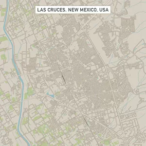
Background imageUSA Maps Collection: Las Cruces New Mexico US City Street Map

Las Cruces New Mexico US City Street Map
Vector Illustration of a City Street Map of Las Cruces, New Mexico, USA. Scale 1:60, 000. All source data is in the public domain. U.S

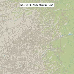
Background imageUSA Maps Collection: Santa Fe New Mexico US City Street Map

Santa Fe New Mexico US City Street Map
Vector Illustration of a City Street Map of Santa Fe, New Mexico, USA. Scale 1:60, 000. All source data is in the public domain. U.S

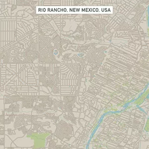
Background imageUSA Maps Collection: Rio Rancho New Mexico US City Street Map

Rio Rancho New Mexico US City Street Map
Vector Illustration of a City Street Map of Rio Rancho, New Mexico, USA. Scale 1:60, 000. All source data is in the public domain. U.S

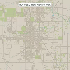
Background imageUSA Maps Collection: Roswell New Mexico US City Street Map

Roswell New Mexico US City Street Map
Vector Illustration of a City Street Map of Roswell, New Mexico, USA. Scale 1:60, 000. All source data is in the public domain. U.S

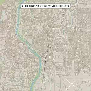
Background imageUSA Maps Collection: Albuquerque New Mexico US City Street Map

Albuquerque New Mexico US City Street Map
Vector Illustration of a City Street Map of Albuquerque, New Mexico, USA. Scale 1:60, 000. All source data is in the public domain. U.S

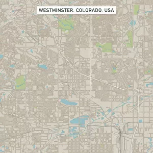
Background imageUSA Maps Collection: Westminster Colorado US City Street Map

Westminster Colorado US City Street Map
Vector Illustration of a City Street Map of Westminster, Colorado, USA. Scale 1:60, 000. All source data is in the public domain. U.S

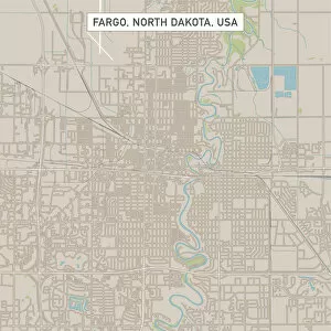
Background imageUSA Maps Collection: Fargo North Dakota US City Street Map

Fargo North Dakota US City Street Map
Vector Illustration of a City Street Map of Fargo, North Dakota, USA. Scale 1:60, 000. All source data is in the public domain. U.S

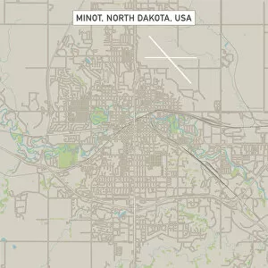
Background imageUSA Maps Collection: Minot North Dakota US City Street Map

Minot North Dakota US City Street Map
Vector Illustration of a City Street Map of Minot, North Dakota, USA. Scale 1:60, 000. All source data is in the public domain. U.S

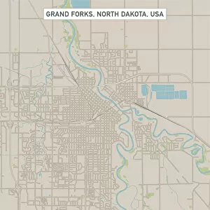
Background imageUSA Maps Collection: Grand Forks North Dakota US City Street Map

Grand Forks North Dakota US City Street Map
Vector Illustration of a City Street Map of Grand Forks, North Dakota, USA. Scale 1:60, 000. All source data is in the public domain. U.S

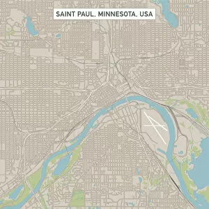
Background imageUSA Maps Collection: Saint Paul Minnesota US City Street Map

Saint Paul Minnesota US City Street Map
Vector Illustration of a City Street Map of Saint Paul, Minnesota, USA. Scale 1:60, 000. All source data is in the public domain. U.S

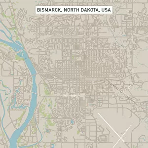
Background imageUSA Maps Collection: Bismarck North Dakota US City Street Map

Bismarck North Dakota US City Street Map
Vector Illustration of a City Street Map of Bismarck, North Dakota, USA. Scale 1:60, 000. All source data is in the public domain. U.S

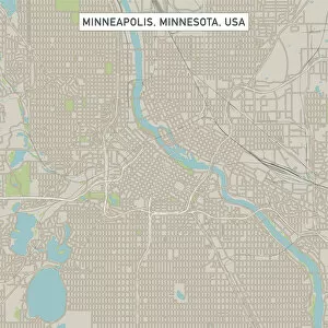
Background imageUSA Maps Collection: Minneapolis Minnesota US City Street Map

Minneapolis Minnesota US City Street Map
Vector Illustration of a City Street Map of Minneapolis, Minnesota, USA. Scale 1:60, 000. All source data is in the public domain. U.S

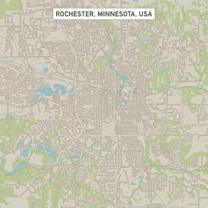
Background imageUSA Maps Collection: Rochester Minnesota US City Street Map

Rochester Minnesota US City Street Map
Vector Illustration of a City Street Map of Rochester, Minnesota, USA. Scale 1:60, 000. All source data is in the public domain. U.S

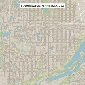
Background imageUSA Maps Collection: Bloomington Minnesota US City Street Map

Bloomington Minnesota US City Street Map
Vector Illustration of a City Street Map of Bloomington, Minnesota, USA. Scale 1:60, 000. All source data is in the public domain. U.S

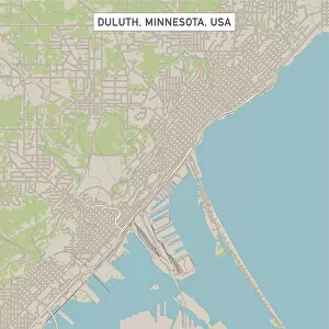
Background imageUSA Maps Collection: Duluth Minnesota US City Street Map

Duluth Minnesota US City Street Map
Vector Illustration of a City Street Map of Duluth, Minnesota, USA. Scale 1:60, 000. All source data is in the public domain. U.S

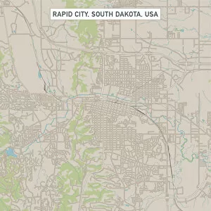
Background imageUSA Maps Collection: Rapid City South Dakota US City Street Map

Rapid City South Dakota US City Street Map
Vector Illustration of a City Street Map of Rapid City, South Dakota, USA. Scale 1:60, 000. All source data is in the public domain. U.S


All Professionally Made to Order for Quick Shipping


-

Why Choose Us?

We are a leading provider of Art Prints and Photo Gifts since 2003, working in partnership with a range of Sporting Clubs, Charities, Museums and Picture Libraries. A large share of profits from any of their images will go directly towards supporting that charity or club. Our archive of images is carefully curated to bring you a wide range of subjects, including landscapes, wildlife, architecture, and more. We ship from our partner labs in the UK, USA, EU (Netherlands) and Australia.
+

How do I place an order?

Ordering is quick & easy - Just follow 5 Simple Steps:
  1. Find your image: Use our search box or browse our online photo Collections to find the image you want.

  2. Choose your print format: Select your desired product and add it to your cart.

  3. Enter your details: If you're a returning customer, simply enter your email address and password, and we'll fill in your billing and shipping address details. All personal details are held securely and are fully GDPR compliant. As standard, we remove all Personally Identifiable Information after 12 months.

  4. Pay for your purchase: We use state-of-the-art security for online shopping and do not have access to your card details.

  5. Sit back and relax: We'll email you confirmation of your order and when it's dispatched. Registered customers can also track orders in the 'My Account' area.

+

How do I pay for an order?

You can pay for your order with most of the major credit and debit cards, or PayPal. For added security, major financial institutions process payment details separately and securely on our behalf. We do not have access to your online payment card details. Online payments are preferred however we do take phone orders. For UK customers only we accept cheques issued against a UK bank.
+

Is my data safe?

We take data security very seriously. We do not have access to your full card details and all payments are requested over a fully secure connection. Additionally, we fully comply with current European and GDPR legislation, and automatically remove all personal data after at most 12 months (unless you have an account with us and have signed in recently). We also have a strict opt-in policy and would never sell your personal details. Your data is only used to fulfill your order promptly and efficiently.
+

Is wall art ready to hang?

For quick and easy installation all wall art, including framed prints, canvas prints and metal prints are supplied with a ready to hang solution on the back. Generally, saw tooth hangers are applied as they allow wall art to hang flush against the wall. The serrated edge of the hanger prevents the frame from shifting or tilting when hung.
+

Are the photo prints fade resistant?

Yes, we use archival quality photo paper photographic paper for vivid reproduction Prints are an accurate representations of the original artwork, which is preserved for artistic character and authenticity. We guarantee they match previews shown on our web site