
Red Lane Collection
"Exploring the Enigmatic Red Lane: A Journey Through Hidden Gems" Embark on a captivating adventure along the mysterious and enchanting Red Lane


All Professionally Made to Order for Quick Shipping
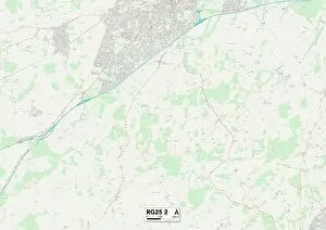
"Exploring the Enigmatic Red Lane: A Journey Through Hidden Gems" Embark on a captivating adventure along the mysterious and enchanting Red Lane. This collection of diverse locations, scattered across Wolverhampton WV11 2, Wakefield WF1 5, Bassetlaw S81 0, Staffordshire ST2 7, South Oxfordshire RG8 0, Coventry CV6 5, Wakefield WF7 6, Warrington WA4 5 and WA4 4, Cheshire West and Chester WA6 6, Shropshire SY7 8, and Cornwall TR20-9 maps promises an unforgettable experience. As you traverse through these mesmerizing landscapes and charming towns connected by the infamous Red Lane route - prepare to be captivated by their unique allure. Each destination holds its own secrets waiting to be discovered. Wolverhampton WV11-2 unveils a vibrant tapestry of history and culture as you stroll down Red Lane's cobblestone streets. Meanwhile in Wakefield WF1-5 map area awaits an artistic haven where creativity thrives amidst picturesque surroundings. Bassetlaw S81-0 invites nature enthusiasts with its breathtaking scenery along Red Lane; here lies a sanctuary for tranquility-seekers seeking solace in the great outdoors. Staffordshire ST2-7 offers a blend of old-world charm and modern delights that will leave visitors spellbound. South Oxfordshire RG8-0 is home to idyllic countryside vistas dotted with quaint villages nestled alongside Red Lane's path. In Coventry CV6-5 map region discover architectural wonders that showcase this city's rich heritage. Wakefield WF7-6 beckons adventurers with its hidden treasures concealed within the depths of Red Lane's winding trails. Warrington WA4-5 & WA4-4 offer bustling marketplaces where locals gather to share stories while Cheshire West and Chester WA6–6 offers a glimpse into the region's captivating history.