Fine Art Print > Maps and Charts > World
Fine Art Print : Balkan States Map Country Countries Geography


![]()
Fine Art Prints from Design Pics
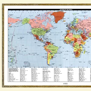
Balkan States Map Country Countries Geography
Map of the Balkan States in 1914 at the start of World War One
Design Pics offers Distinctively Different Imagery representing over 1,500 contributors
Media ID 31611455
© Hilary Morgan
1914 1918 20th Century Countries First World War Geographical Geography The Great War World War One Balkan States
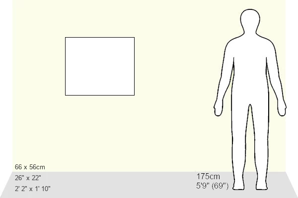
20"x16" (+3" Border) Fine Art Print
Step back in time with our exquisite Fine Art Print of the Balkan States Map by Hilary Morgan from Design Pics. This captivating piece showcases the geography of the Balkan region as it appeared at the onset of World War One in 1914. With intricate detail and a vintage aesthetic, this fine art print is an essential addition to any history or geography enthusiast's collection. Bring a piece of the past into your home or office and transport yourself to another era with this beautiful and thought-provoking representation of the Balkan States.
20x16 image printed on 26x22 Fine Art Rag Paper with 3" (76mm) white border. Our Fine Art Prints are printed on 300gsm 100% acid free, PH neutral paper with archival properties. This printing method is used by museums and art collections to exhibit photographs and art reproductions.
Our fine art prints are high-quality prints made using a paper called Photo Rag. This 100% cotton rag fibre paper is known for its exceptional image sharpness, rich colors, and high level of detail, making it a popular choice for professional photographers and artists. Photo rag paper is our clear recommendation for a fine art paper print. If you can afford to spend more on a higher quality paper, then Photo Rag is our clear recommendation for a fine art paper print.
Estimated Image Size (if not cropped) is 50.8cm x 36.1cm (20" x 14.2")
Estimated Product Size is 66cm x 55.9cm (26" x 22")
These are individually made so all sizes are approximate
Artwork printed orientated as per the preview above, with landscape (horizontal) orientation to match the source image.
FEATURES IN THESE COLLECTIONS
> Maps and Charts
> Early Maps
> Maps and Charts
> Related Images
> Maps and Charts
> World
EDITORS COMMENTS
This vintage print captures a historical moment in the Balkan region, specifically the map of Balkan States in 1914 at the onset of World War One. The intricate engraving showcases the geographical layout and boundaries of various countries during this tumultuous period. As one gazes upon this archival illustration, they are transported back to a time when political tensions were high and alliances were shifting. The Balkans, often referred to as the "powder keg" of Europe, played a significant role in triggering the Great War. This image allows us to explore how these states looked before they became embroiled in one of history's deadliest conflicts. Hilary Morgan's attention to detail is evident in every line and contour depicted on this print. It serves as both an educational tool for geography enthusiasts and a window into our past for history buffs. The faded hues add an air of nostalgia, reminding us that these borders have since changed due to subsequent geopolitical shifts. Whether displayed in a classroom or adorning your personal collection, this picture offers more than just aesthetic appeal; it tells a story about an era defined by conflict and transformation. Hilary Morgan's artistic vision has immortalized this snapshot from 1914, allowing us to reflect on how far we've come since those turbulent times.
MADE IN AUSTRALIA
Safe Shipping with 30 Day Money Back Guarantee
FREE PERSONALISATION*
We are proud to offer a range of customisation features including Personalised Captions, Color Filters and Picture Zoom Tools
SECURE PAYMENTS
We happily accept a wide range of payment options so you can pay for the things you need in the way that is most convenient for you
* Options may vary by product and licensing agreement. Zoomed Pictures can be adjusted in the Cart.