Jigsaw Puzzle > Maps and Charts > Early Maps
Jigsaw Puzzle : na. 18th century map of the stars in the northern hemisphere


![]()
Jigsaw Puzzles from Design Pics
na. 18th century map of the stars in the northern hemisphere
18th century map of the stars in the northern hemisphere. The constellations are shown both as stars and the figures commonly perceived from them. After an engraving published by Dutch cartographer Carel Allard
Design Pics offers Distinctively Different Imagery representing over 1,500 contributors
Media ID 32815625
© Ken Welsh
18th Century Constellations Décor Decoration Decorative Drawing Figures Stars Wall Art Carel Allard Northern Hemisphere
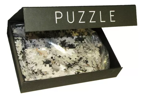
Jigsaw Puzzle (500 Pieces)
Discover the wonders of the night sky with Media Storehouse's Jigsaw Puzzles featuring "na" by Ken Welsh from Design Pics. This captivating puzzle showcases an 18th century map of the stars in the northern hemisphere, intricately depicting both the stars and the constellations as they were perceived during that era. Challenge yourself and your family to piece together the night sky and bring the beauty of the cosmos into your home. Engaging, educational, and perfect for all ages, this puzzle is sure to provide hours of enjoyment and awe-inspiring discovery. All Media Storehouse Jigsaw Puzzles are made with premium quality materials and precise cut pieces for a satisfying puzzle experience.
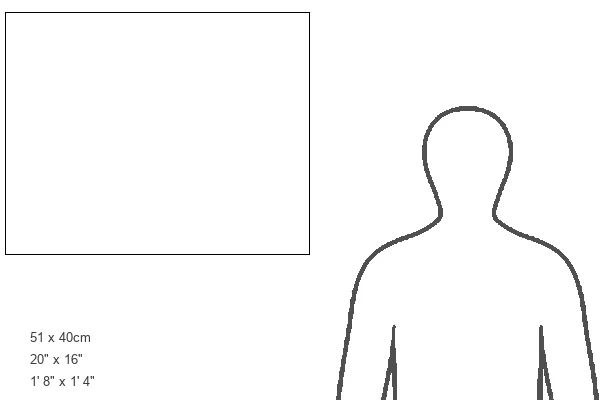
500 piece puzzles are custom made in Australia and hand-finished on 100% recycled 1.6mm thick laminated puzzle boards. There is a level of repetition in jigsaw shapes with each matching piece away from its pair. The completed puzzle measures 40x51cm and is delivered packaged in an attractive presentation box specially designed to fit most mail slots with a unique magnetic lid
Jigsaw Puzzles are an ideal gift for any occasion
Estimated Product Size is 50.7cm x 40.3cm (20" x 15.9")
These are individually made so all sizes are approximate
Artwork printed orientated as per the preview above, with landscape (horizontal) or portrait (vertical) orientation to match the source image.
FEATURES IN THESE COLLECTIONS
> Maps and Charts
> Early Maps
> Maps and Charts
> Related Images
EDITORS COMMENTS
This print takes us back in time to the 18th century, showcasing a beautifully detailed map of the stars in the northern hemisphere. Carefully crafted by Dutch cartographer Carel Allard, this engraving captures both the scientific accuracy and artistic elegance of its era. The constellations depicted on this map are not only represented as stars but also as figures commonly perceived from them. This unique feature allows us to appreciate how our ancestors saw these celestial formations and their imaginative interpretations. As a piece of wall art, this print brings an air of history and sophistication to any space it adorns. Its decorative nature adds character and charm while serving as a conversation starter for those who admire its intricate details. With vibrant colors that have been carefully preserved through archival techniques, this vintage illustration transports us to a different period in time. It serves as a visual reminder of humanity's fascination with the cosmos throughout history. Whether you're an astronomy enthusiast or simply appreciate historical artifacts, this picture is sure to captivate your imagination. Ken Welsh's skillful photography has brought out every nuance of Allard's original engraving, allowing us to enjoy its beauty today.
MADE IN AUSTRALIA
Safe Shipping with 30 Day Money Back Guarantee
FREE PERSONALISATION*
We are proud to offer a range of customisation features including Personalised Captions, Color Filters and Picture Zoom Tools
SECURE PAYMENTS
We happily accept a wide range of payment options so you can pay for the things you need in the way that is most convenient for you
* Options may vary by product and licensing agreement. Zoomed Pictures can be adjusted in the Cart.