Metal Print > Africa > Benin > Maps
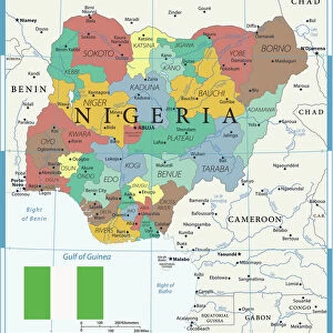
Metal Print : Map of Nigeria

![]()
Metal Prints From Fine Art Storehouse
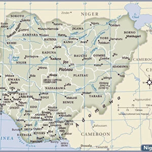
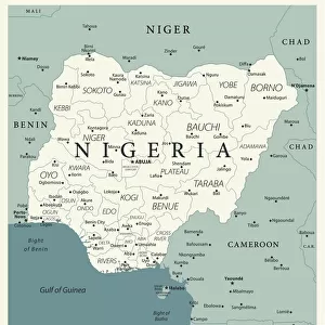
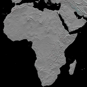
Map of Nigeria
Nigeria is a country on the coast of West Africa, bordered in south by the Bight of Benin and the Bight of Biafra (Bight of Bonny), both part of the Gulf of Guinea, by Niger in north, Benin in west, Cameroon in south east, and by Chad in north east by a boundary across Lake Chad. The nation shares maritime borders with Equatorial Guinea, Ghana, and S├úo Tom├® and Pr├¡ncipe
Unleash your creativity and transform your space into a visual masterpiece!
Media ID 20251041
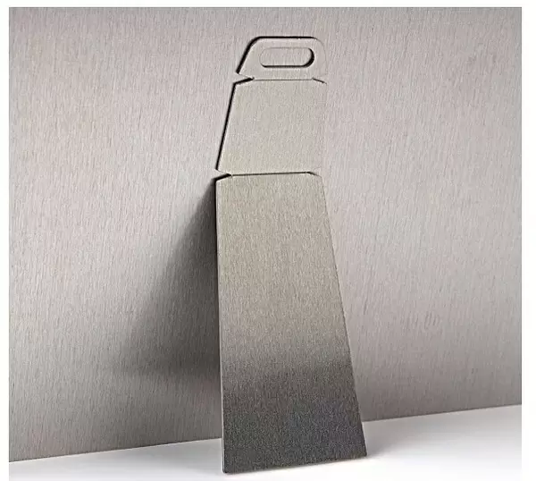
10"x8" (25x20cm) Table Top Metal Print
Discover the beauty and rich cultural heritage of Nigeria with our exquisite Metal Prints from Media Storehouse's Fine Art collection. This stunning representation of a Map of Nigeria is meticulously crafted to bring out the intricate details of the country's borders and geographical features. The vibrant colors and high-quality finish of the metal print make it a unique and eye-catching addition to any space. Bring a piece of West Africa into your home or office with this beautifully designed and expertly produced Map of Nigeria Metal Print. Order yours today and let the story of Nigeria come alive in your surroundings.
Table Top Metal Prints feature rounded corners and an easel back for easy display. Available in two sizes, 18x13cm (7x5) or 25x20cm (10x8). Lightweight and vibrant, they are perfect for displaying artwork and are guaranteed to add style to any desk or table top. The unique material is fade, moisture, chemical and scratch resistant to help ensure this art lasts a lifetime.
Made with durable metal and luxurious printing techniques, metal prints bring images to life and add a modern touch to any space
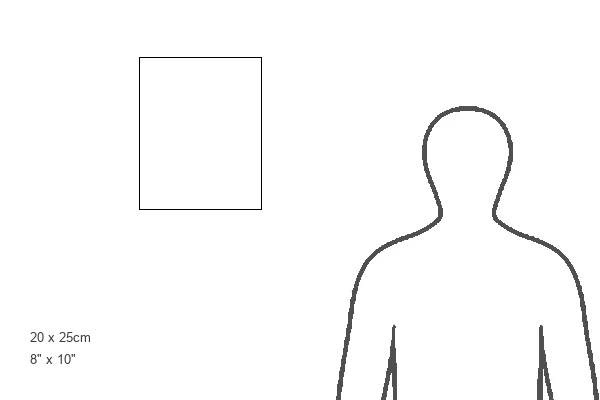
Estimated Product Size is 20.3cm x 25.4cm (8" x 10")
These are individually made so all sizes are approximate
Artwork printed orientated as per the preview above, with landscape (horizontal) or portrait (vertical) orientation to match the source image.
FEATURES IN THESE COLLECTIONS
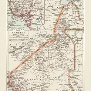
> Africa
> Benin
> Related Images
> Africa
> Cameroon
> Lakes
> Related Images
> Africa
> Cameroon
> Related Images
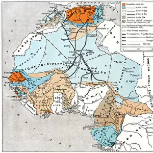
> Africa
> Chad
> Lakes
> Lake Chad
> Africa
> Chad
> Lakes
> Related Images
> Africa
> Chad
> Related Images
> Africa
> Equatorial Guinea
> Maps
> Africa
> Equatorial Guinea
> Related Images
EDITORS COMMENTS
This stunning print showcases the intricate and diverse geography of Nigeria, a vibrant country located on the coast of West Africa. The map beautifully depicts Nigeria's borders, with the Bight of Benin and the Bight of Biafra (Bight of Bonny) gracing its southern coastline as part of the Gulf of Guinea. To the north lies Niger, while Benin rests to its west. In the southeast, Cameroon shares a border with Nigeria, and in the northeast, Chad is separated by a boundary that stretches across Lake Chad. Nigeria's rich cultural heritage and natural beauty are perfectly encapsulated in this image. As one gazes upon it, they can almost feel themselves immersed in Nigeria's bustling cities, picturesque landscapes, and vibrant communities. This print not only serves as an educational tool but also evokes a sense of wanderlust for those who have yet to explore this remarkable nation. With maritime borders shared with Equatorial Guinea, Ghana, S├úo Tom├® and Pr├¡ncipe islands further enhance Nigeria's connection to neighboring countries within Africa. Whether displayed in classrooms or homes around the world, this print is sure to spark curiosity about Nigeria's history and allure visitors towards discovering its hidden treasures firsthand.
MADE IN AUSTRALIA
Safe Shipping with 30 Day Money Back Guarantee
FREE PERSONALISATION*
We are proud to offer a range of customisation features including Personalised Captions, Color Filters and Picture Zoom Tools
SECURE PAYMENTS
We happily accept a wide range of payment options so you can pay for the things you need in the way that is most convenient for you
* Options may vary by product and licensing agreement. Zoomed Pictures can be adjusted in the Basket.