Metal Print > Europe > France > Paris > Maps
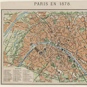
Metal Print : Street Map 1878
![]()

Metal Prints from Mary Evans Picture Library
Street Map 1878
An aerial map of Paris, showing the important monuments and the Seine
Mary Evans Picture Library makes available wonderful images created for people to enjoy over the centuries
Media ID 596931
© Mary Evans Picture Library 2015 - https://copyrighthub.org/s0/hub1/creation/maryevans/MaryEvansPictureID/10143881
1878 Environs Important Monuments Seine
10"x8" (25x20cm) Table Top Metal Print
Discover the timeless charm of Paris in the past with our Media Storehouse Metal Print featuring the captivating Street Map 1878 from Mary Evans Picture Library. This exquisite print showcases an aerial view of the City of Light as it once was, with iconic monuments such as the Eiffel Tower, Notre-Dame, and the Seine River prominently displayed. Our high-quality metal print brings the vintage map to life, adding a unique and stylish touch to any space. Relive history and add a touch of elegance to your home or office decor with this beautiful and intriguing piece.
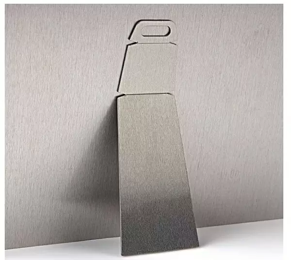
Table Top Metal Prints feature rounded corners and an easel back for easy display. Available in two sizes, 18x13cm (7x5) or 25x20cm (10x8). Lightweight and vibrant, they are perfect for displaying artwork and are guaranteed to add style to any desk or table top. The unique material is fade, moisture, chemical and scratch resistant to help ensure this art lasts a lifetime.
Made with durable metal and luxurious printing techniques, metal prints bring images to life and add a modern touch to any space
Estimated Product Size is 25.4cm x 20.3cm (10" x 8")
These are individually made so all sizes are approximate
Artwork printed orientated as per the preview above, with landscape (horizontal) or portrait (vertical) orientation to match the source image.
FEATURES IN THESE COLLECTIONS
> Mary Evans Prints Online
> Places
> France
> Aerial Photography
> Related Images
> Arts
> Portraits
> Pop art gallery
> Street art portraits
> Europe
> France
> Paris
> Maps
> Europe
> France
> Paris
> Related Images
> Historic
> Monuments and landmarks
> Monuments and memorials
> Historic
> Monuments and landmarks
> Maps and Charts
> Early Maps
EDITORS COMMENTS
This stunning aerial map of Paris from 1878 offers a fascinating glimpse into the historical layout of the city, showcasing its important monuments and the winding Seine River. The intricate details captured in this print provide a unique perspective on the bustling streets, railways, and landmarks that defined Paris during this time period.
As you study this map closely, you can trace the iconic architecture of famous buildings such as Notre Dame Cathedral, the Louvre Museum, and the Eiffel Tower emerging amidst a sea of rooftops and cobblestone streets. The meandering Seine River cuts through the heart of the city like a ribbon, offering both practical transportation routes and picturesque views for residents and visitors alike.
This aerial view not only serves as a valuable historical document but also evokes a sense of nostalgia for a bygone era when horse-drawn carriages traversed these roads instead of modern cars. It is truly remarkable to witness how much has changed in Paris over the years while some landmarks have remained constant symbols of French culture and history.
Whether you are an avid history buff or simply appreciate beautiful cartography, this Street Map 1878 print from Mary Evans Picture Library is sure to captivate your imagination with its detailed depiction of one of Europe's most beloved cities.
MADE IN AUSTRALIA
Safe Shipping with 30 Day Money Back Guarantee
FREE PERSONALISATION*
We are proud to offer a range of customisation features including Personalised Captions, Color Filters and Picture Zoom Tools
SECURE PAYMENTS
We happily accept a wide range of payment options so you can pay for the things you need in the way that is most convenient for you
* Options may vary by product and licensing agreement. Zoomed Pictures can be adjusted in the Cart.


