Photographic Print > Arts > Artists > H > William Hole
Photographic Print : Map Virginia 1606 17th Century Captain John Smith

![]()
Photo Prints from Design Pics
Map Virginia 1606 17th Century Captain John Smith
Map of Virginia. "Virginia discouered and described by Captayn John Smith". Engraved by William Hole. Dated on map 1606
Design Pics offers Distinctively Different Imagery representing over 1,500 contributors
Media ID 32815505
© Ken Welsh
17th Century Drawing Geographical Geography Virginia 1606 Captain John Smith
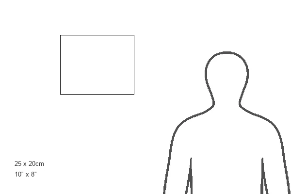
10"x8" (25x20cm) Photo Print
"Step back in time with our exquisite photographic print from Media Storehouse's collection. Featuring the intricately detailed map of Virginia, "Virginia Discouered and Described by Captayn John Smith," this 17th-century masterpiece by Ken Welsh brings history to life. Engraved by William Hole and dated 1606, this captivating print transports you back to the era of Captain John Smith's discovery of the New World. Add a touch of history and sophistication to your home or office decor with this stunning, museum-quality print."
Ideal for framing, Australian made Photo Prints are produced on high-quality 270 gsm lustre photo paper which has a subtle shimmer adding a touch of elegance, designed to enhance their visual appeal.
Our Photo Prints are in a large range of sizes and are printed on Archival Quality Paper for excellent colour reproduction and longevity. They are ideal for framing (our Framed Prints use these) at a reasonable cost. Alternatives include cheaper Poster Prints and higher quality Fine Art Paper, the choice of which is largely dependant on your budget.
Estimated Product Size is 25.4cm x 20.3cm (10" x 8")
These are individually made so all sizes are approximate
Artwork printed orientated as per the preview above, with landscape (horizontal) or portrait (vertical) orientation to match the source image.
FEATURES IN THESE COLLECTIONS
> Arts
> Artists
> H
> William Hole
> Maps and Charts
> Early Maps
> Maps and Charts
> Related Images
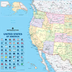
> North America
> United States of America
> Maps
> North America
> United States of America
> Virginia
> Related Images
EDITORS COMMENTS
This print showcases a rare and significant piece of history - the Map of Virginia from 1606. Crafted by Captain John Smith, this illustration offers a fascinating glimpse into the early exploration and discovery of America. Engraved with meticulous detail by William Hole, this archival treasure transports us back to the 17th century. The map itself is an invaluable artifact that vividly depicts the geographical landscape of Virginia as it was known at that time. It serves as a testament to Captain John Smith's pioneering spirit and his role in uncovering new territories in America. As we gaze upon this vintage engraving, we are transported to an era when cartography was still in its infancy. The intricate lines and delicate shading bring life to the rivers, mountains, and coastlines depicted on the map. It is truly remarkable how such a simple drawing can hold so much historical significance. This print allows us to appreciate not only the artistry behind William Hole's engraving but also provides insight into America's rich past. It reminds us of our nation's roots and serves as a reminder of those who paved the way for future generations. Ken Welsh has masterfully captured this timeless piece through his lens, preserving it for all history enthusiasts to admire. This photograph is more than just an image; it is a gateway into our collective heritage - an invitation to explore our past through visual storytelling.
MADE IN AUSTRALIA
Safe Shipping with 30 Day Money Back Guarantee
FREE PERSONALISATION*
We are proud to offer a range of customisation features including Personalised Captions, Color Filters and Picture Zoom Tools
SECURE PAYMENTS
We happily accept a wide range of payment options so you can pay for the things you need in the way that is most convenient for you
* Options may vary by product and licensing agreement. Zoomed Pictures can be adjusted in the Cart.