Photographic Print > Maps and Charts > World
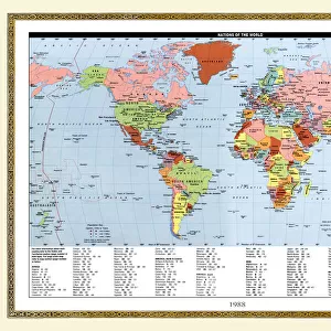
Photographic Print : Map World Eratosthenes 200 BC B. C. Cartography

![]()
Photo Prints from Design Pics
Map World Eratosthenes 200 BC B. C. Cartography
Map of the world according to Eratosthenes, 200 BC. From the book Outline of History by H.G. Wells, published 1920
Design Pics offers Distinctively Different Imagery representing over 1,500 contributors
Media ID 32815109
© Ken Welsh
Cartography Chart Countries Geographical Geography World 200 Bc Eratosthenes
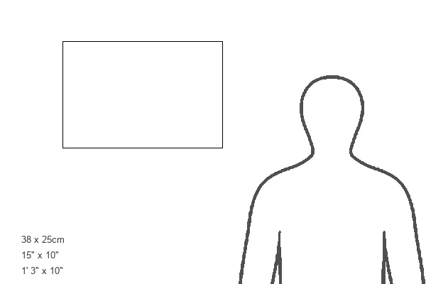
15"x10" (37.5x25cm) Poster
"Discover history through the lens with our Media Storehouse range of Photographic Prints featuring the captivating "Map World Eratosthenes 200 BC B.C. Cartography" by Ken Welsh from Design Pics. This mesmerizing vintage map takes you back in time, showcasing the world as it was known to ancient Greek scholar Eratosthenes around 200 BC. A must-have for history enthusiasts, educators, and anyone seeking a unique decor piece, this print brings the intrigue of the past right into your home or office. Impress your guests with a glimpse into the world of H.G. Wells' "Outline of History" and add a touch of historical charm to your space."
High-quality poster prints are available in a range of sizes and are printed on 270 gsm semi-glossy silk finish poster paper. An affordable option for decorating any space, they are perfect for fixing straight onto walls. To ensure your poster arrives in good condition, we roll and send them in strong mailing tubes.
Our Photo Prints are in a large range of sizes and are printed on Archival Quality Paper for excellent colour reproduction and longevity. They are ideal for framing (our Framed Prints use these) at a reasonable cost. Alternatives include cheaper Poster Prints and higher quality Fine Art Paper, the choice of which is largely dependant on your budget.
Estimated Image Size (if not cropped) is 37.5cm x 19.9cm (14.8" x 7.8")
Estimated Product Size is 37.5cm x 25cm (14.8" x 9.8")
These are individually made so all sizes are approximate
Artwork printed orientated as per the preview above, with landscape (horizontal) orientation to match the source image.
FEATURES IN THESE COLLECTIONS
> Maps and Charts
> Early Maps
> Maps and Charts
> Related Images
> Maps and Charts
> World
EDITORS COMMENTS
This print showcases a remarkable piece of history - the Map World Eratosthenes 200 BC. Crafted by the renowned cartographer Eratosthenes in 200 BC, this map offers a fascinating glimpse into ancient geographical knowledge. Taken from H. G. Wells' book Outline of History, published in 1920, this archival engraving has stood the test of time. The intricate details and precision displayed on this chart are truly awe-inspiring. Each country is meticulously depicted, allowing us to trace the boundaries and explore how our world was perceived over two thousand years ago. This vintage illustration transports us back to an era when cartography was still in its infancy but played a crucial role in understanding our planet's vastness. As we gaze upon this historical artifact, we can't help but marvel at how far we have come in terms of geographic exploration and scientific advancements since then. It serves as a reminder that knowledge is ever-evolving and that every generation builds upon the discoveries made by those who came before them. Ken Welsh's skillful capture allows us to appreciate not only the beauty of this old-world map but also its significance as an invaluable piece of human history. Whether you're a lover of geography or simply fascinated by our past, this picture will undoubtedly transport you on an enthralling journey through time.
MADE IN AUSTRALIA
Safe Shipping with 30 Day Money Back Guarantee
FREE PERSONALISATION*
We are proud to offer a range of customisation features including Personalised Captions, Color Filters and Picture Zoom Tools
SECURE PAYMENTS
We happily accept a wide range of payment options so you can pay for the things you need in the way that is most convenient for you
* Options may vary by product and licensing agreement. Zoomed Pictures can be adjusted in the Cart.