Metal Print > Europe > France > Maps
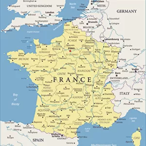
Metal Print : na. Map of Corsica, France dated 1735. By an unidentified cartographer


![]()
Metal Prints from Design Pics
na. Map of Corsica, France dated 1735. By an unidentified cartographer
Design Pics offers Distinctively Different Imagery representing over 1,500 contributors
Media ID 31615411
© Ken Welsh
18th Century Cartography Corsica Drawing France Geographical Geography 1735
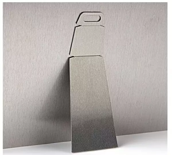
10"x8" (25x20cm) Table Top Metal Print
Bring history to life with Media Storehouse Metal Prints. This stunning image, "Map of Corsica, France (1735)" by Ken Welsh from Design Pics, is now available as a high-quality metal print. Each print is meticulously crafted with a vibrant, long-lasting image transfer directly onto a lightweight aluminum sheet. The sleek, modern design not only showcases the intricate details of this antique map but also adds a contemporary twist to your decor. Preserve the rich history of this unidentified 1735 map of Corsica, France with a Metal Print from Media Storehouse. Order yours today and experience the beauty and durability of this unique print.
Table Top Metal Prints feature rounded corners and an easel back for easy display. Available in two sizes, 18x13cm (7x5) or 25x20cm (10x8). Lightweight and vibrant, they are perfect for displaying artwork and are guaranteed to add style to any desk or table top. The unique material is fade, moisture, chemical and scratch resistant to help ensure this art lasts a lifetime.
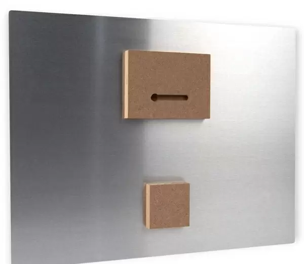
Made with durable metal and luxurious printing techniques, metal prints bring images to life and add a modern touch to any space
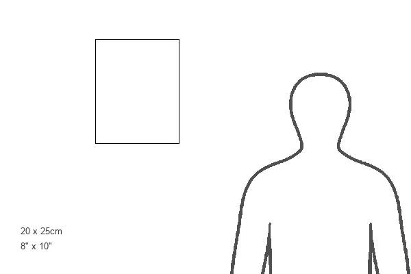
Estimated Product Size is 20.3cm x 25.4cm (8" x 10")
These are individually made so all sizes are approximate
Artwork printed orientated as per the preview above, with landscape (horizontal) or portrait (vertical) orientation to match the source image.
FEATURES IN THESE COLLECTIONS
> Maps and Charts
> Early Maps
> Maps and Charts
> Related Images
EDITORS COMMENTS
This vintage print takes us back to the 18th century, offering a fascinating glimpse into the history and geography of Corsica, France. Created in 1735 by an unidentified cartographer, this meticulously detailed map showcases the island's intricate landscape and topography. The enchanting illustration captures the essence of a bygone era when cartography was both an art form and a scientific endeavor. The map is adorned with vibrant colors that bring life to every contour, river, and coastline. It invites us to explore Corsica's rich historical heritage through its numerous towns, villages, and landmarks. As we trace our fingers along its delicate engravings, we can almost feel the spirit of adventure that must have accompanied those who navigated these lands centuries ago. Preserved within this archival piece lies not only geographical information but also a testament to human curiosity and exploration. It serves as a reminder of how maps were once cherished possessions for travelers seeking new horizons or scholars unraveling the mysteries of distant lands. Ken Welsh has skillfully captured this significant artifact from history in all its glory. This print allows us to appreciate the craftsmanship involved in creating such intricate illustrations while immersing ourselves in Corsica's past. Whether you are an enthusiast of cartography or simply intrigued by historical artifacts, this image will transport you back in time to uncover Corsica's secrets one stroke at a time.
MADE IN AUSTRALIA
Safe Shipping with 30 Day Money Back Guarantee
FREE PERSONALISATION*
We are proud to offer a range of customisation features including Personalised Captions, Color Filters and Picture Zoom Tools
SECURE PAYMENTS
We happily accept a wide range of payment options so you can pay for the things you need in the way that is most convenient for you
* Options may vary by product and licensing agreement. Zoomed Pictures can be adjusted in the Cart.